Geospatial Mapping Tools and Techniques for Energy Corridor Projects
The ACEC WI Energy Committee is excited to present a free webinar about mapping tools on energy corridors! The event will be eligible for 1 PDH and feature a presentation followed by Q&A. This is a free event but please register to receive the login information.
Geospatial Mapping Tools and Techniques for Energy Corridor Projects
The presentation will cover a variety of survey and GIS approaches that are being used in utility corridor projects. Geospatial tools and techniques are being used now more than ever to get projects completed more quickly and with fewer conflicts. Topics will include the research and data gathering, easement, ROW, and encroachment mapping, and the role of the surveyor and GIS professional in the land acquisition process.
Learning Objectives:
- Review current standards for mapping energy corridors.
- Discover a variety of survey and GIS methods that are being used on utility corridor projects.
- Learn why every engineer should know what options are available.
- Understand how knowing the tools can lead to concrete benefits on upcoming projects.
Speakers
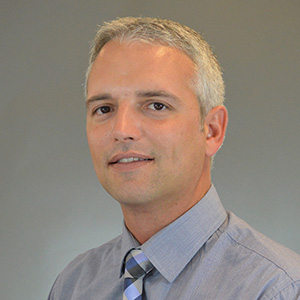
Ryan Beltrand, Ayres Associates
Ryan is a survey manager with Ayres Associates out of the Green Bay, WI office and manages Ayres survey operations in Northern Wisconsin, Minnesota and North Carolina. He is a Professional Land Surveyor in WI, IL TX, NM, and NC with 22 years of experience in design, construction, and boundary related surveys. He has an AS degree in Civil Engineering Technology from Northeast Wisconsin Technical College and a BS degree in Land Surveying from Michigan Tech.
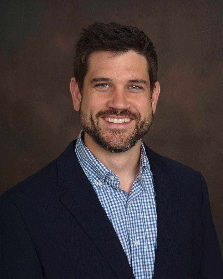
Zach Nienow, Ayres Associates
Zach is the manager of aerial mapping at Ayres Associates in Madison, WI. He is a graduate of the University of Wisconsin-Madison, with 22 years of professional experience in the geospatial sciences. Zach is a certified GIS Professional and leads a team of 25 geospatial staff at Ayres. He is the program manager for the Wisconsin Regional Orthoimagery Consortium, which provides orthoimagery and lidar mapping services to over 100 local government agencies and partners across the state. Zach is a volunteer and past president of the Wisconsin Land Information Association.